Summit & Circuit
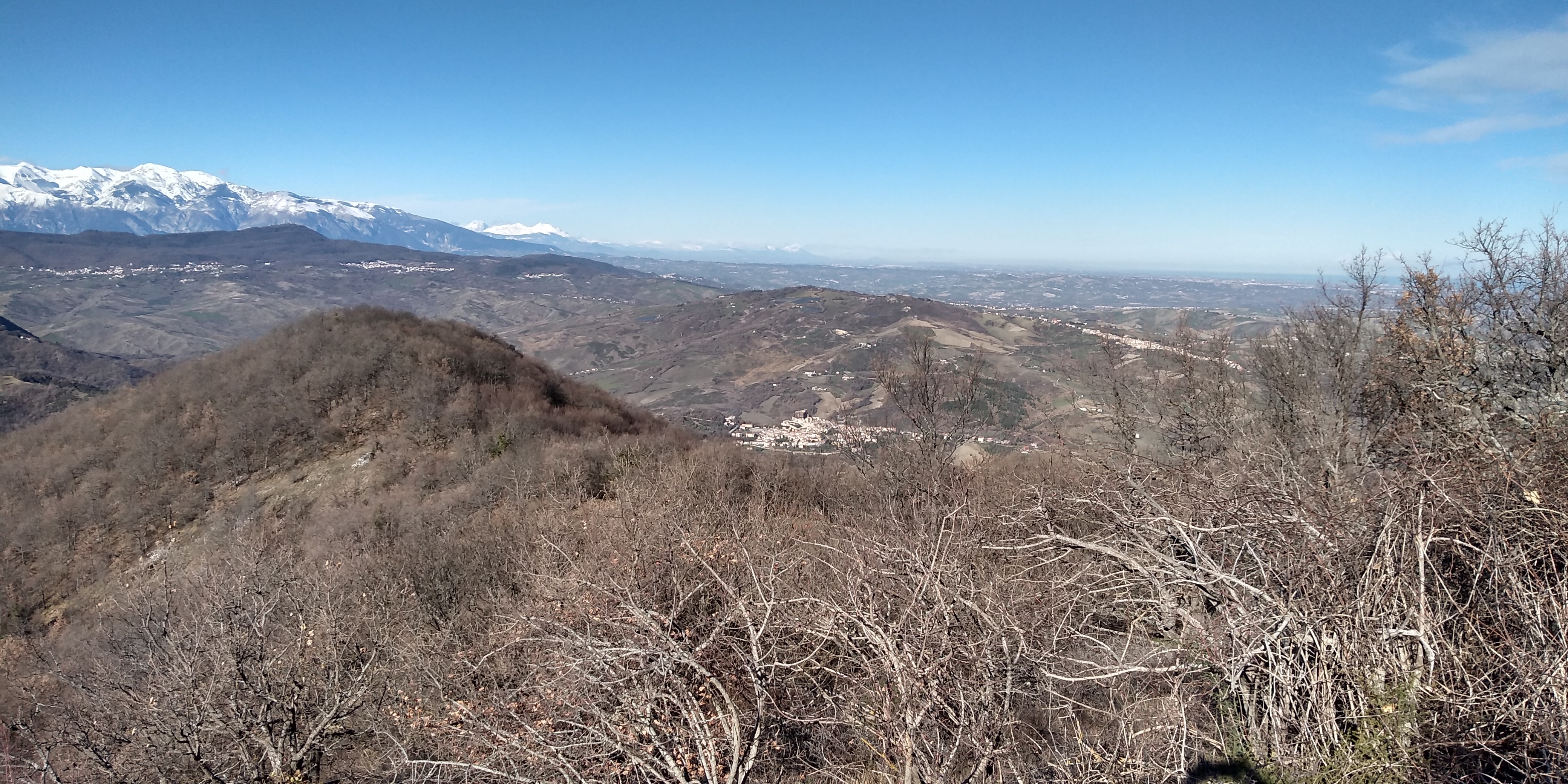
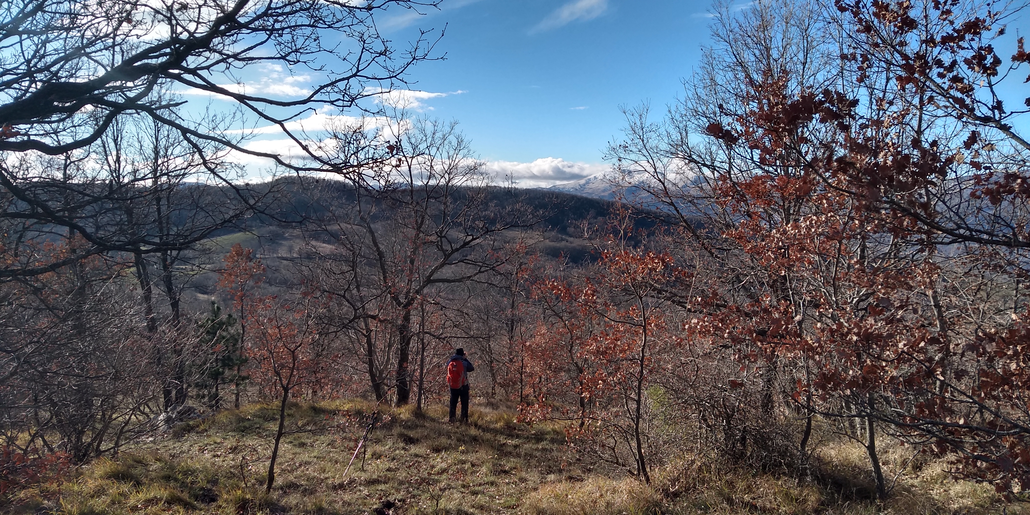
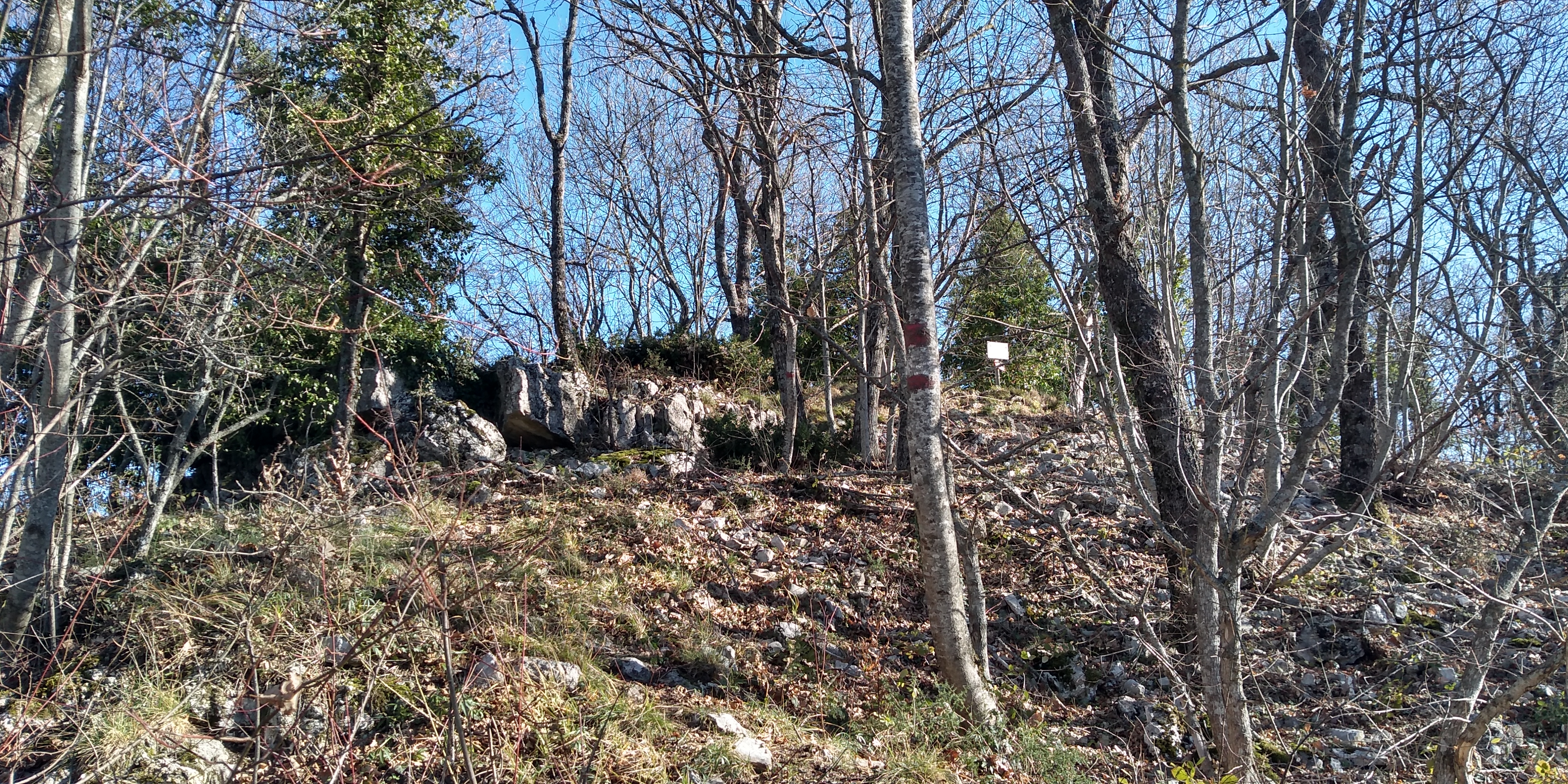
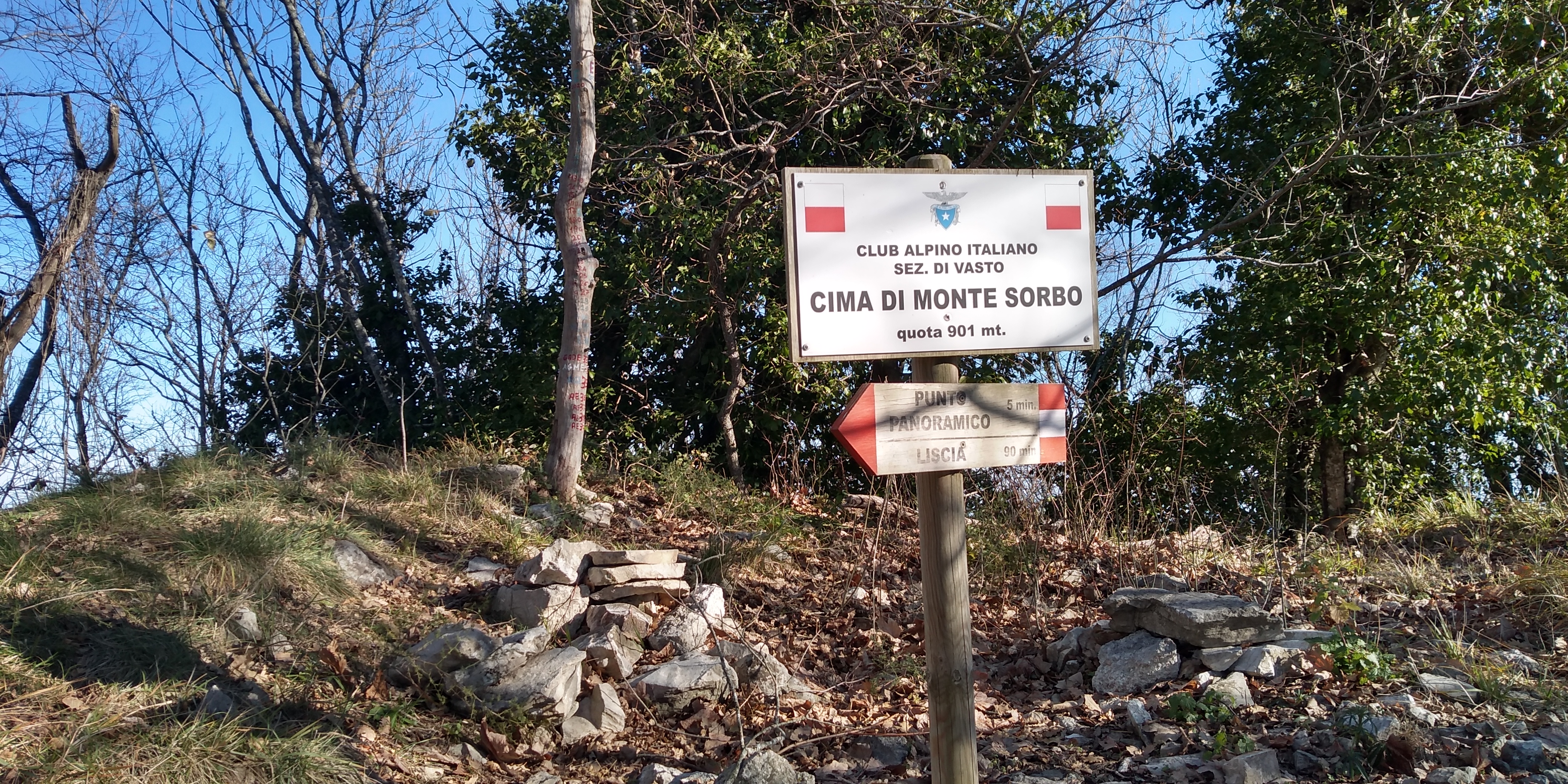
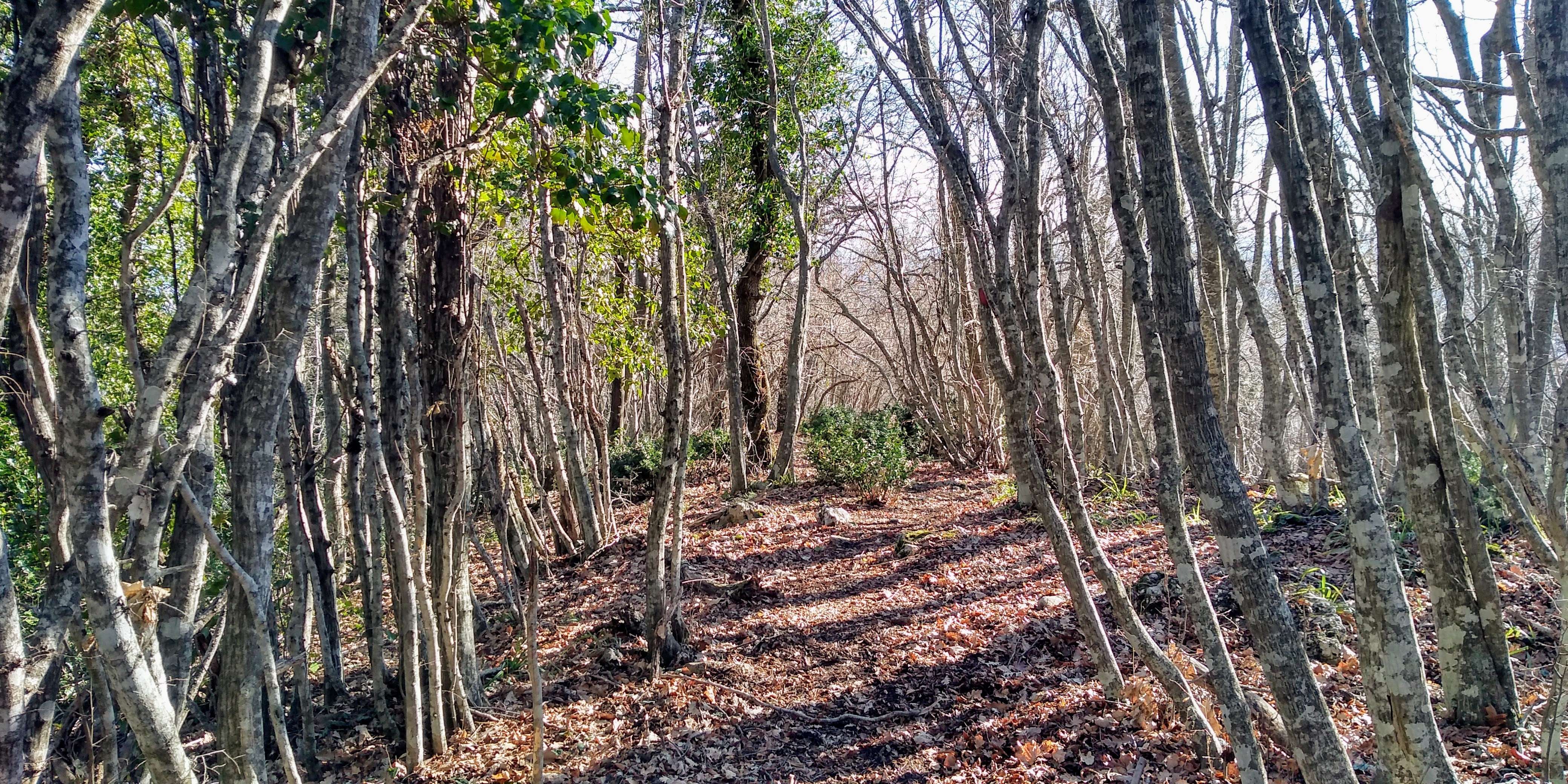
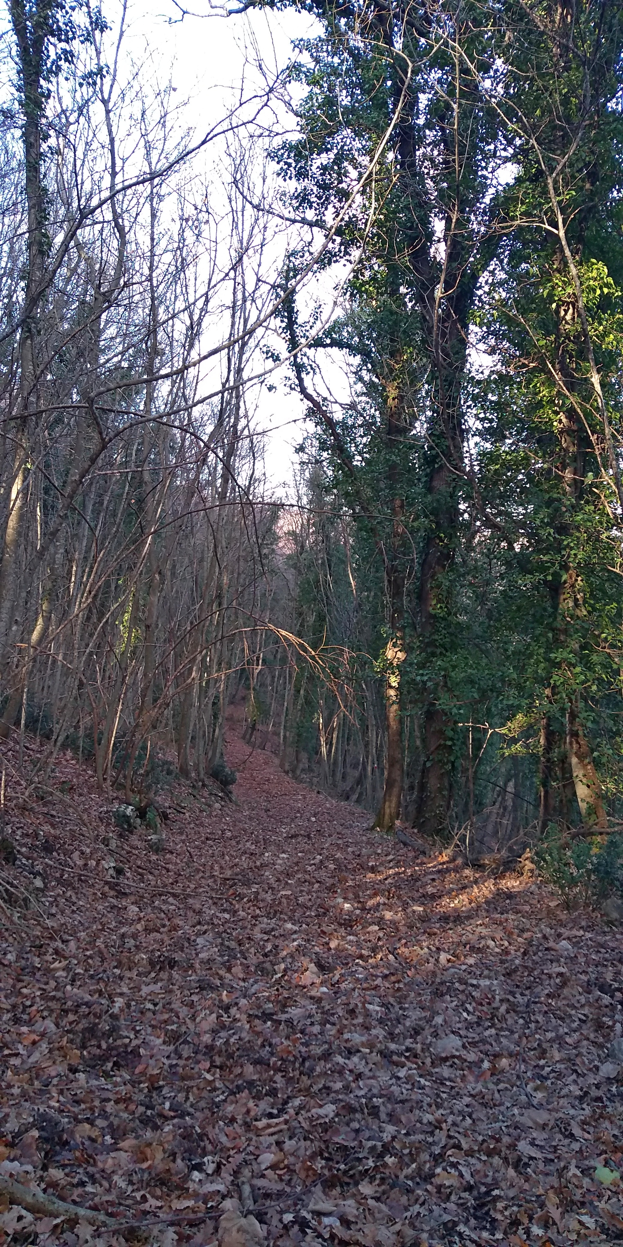
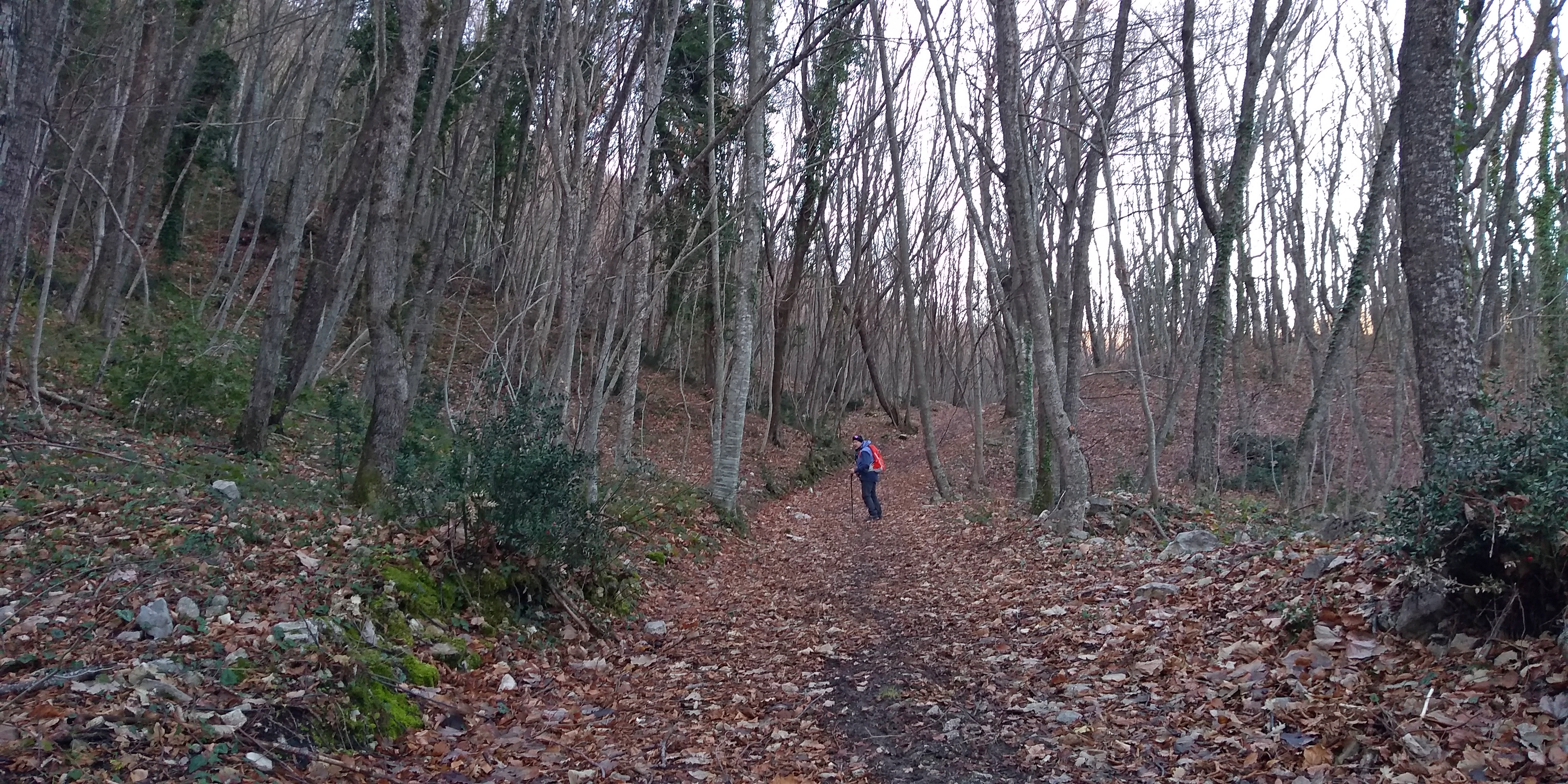
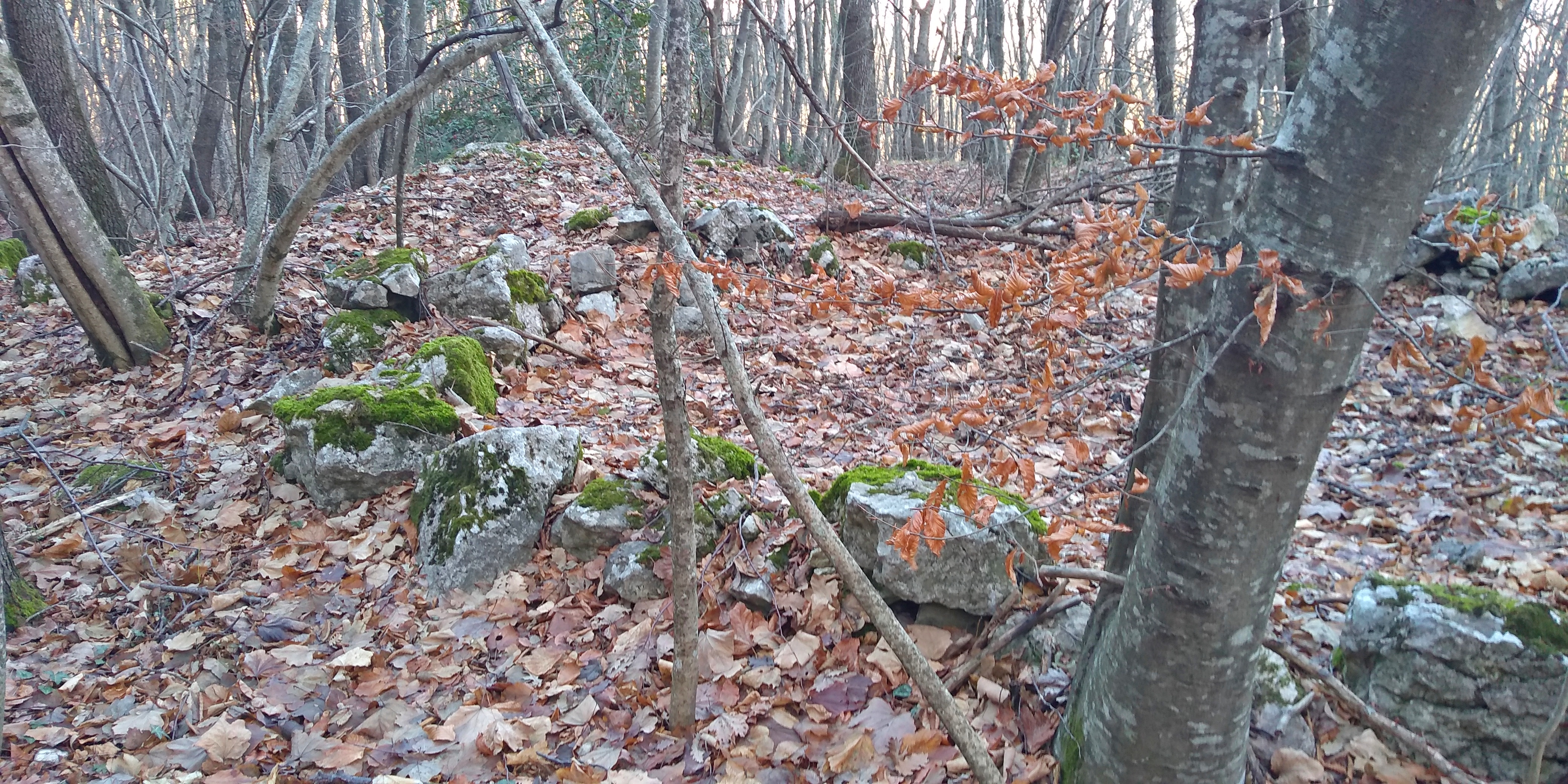
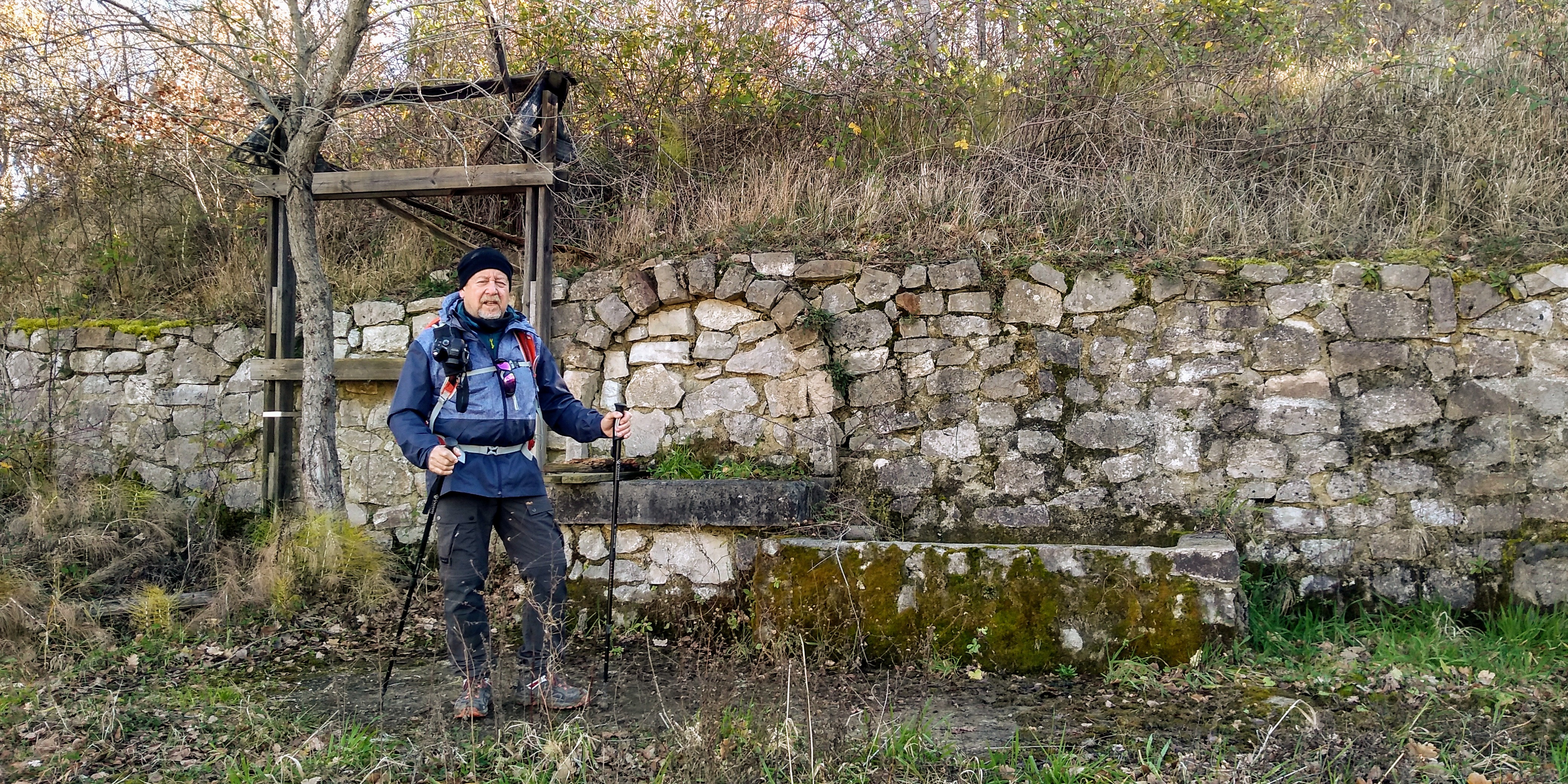
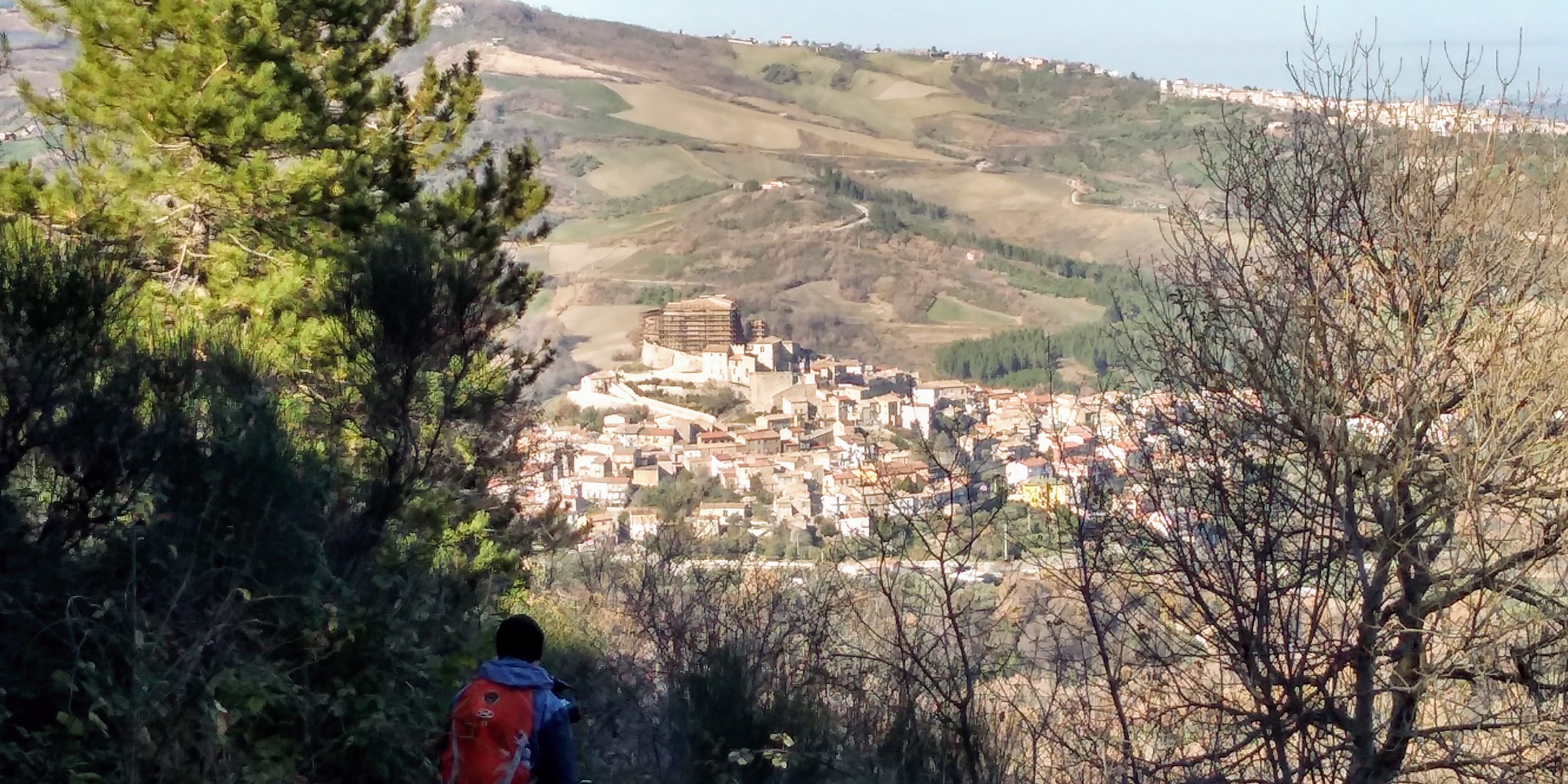
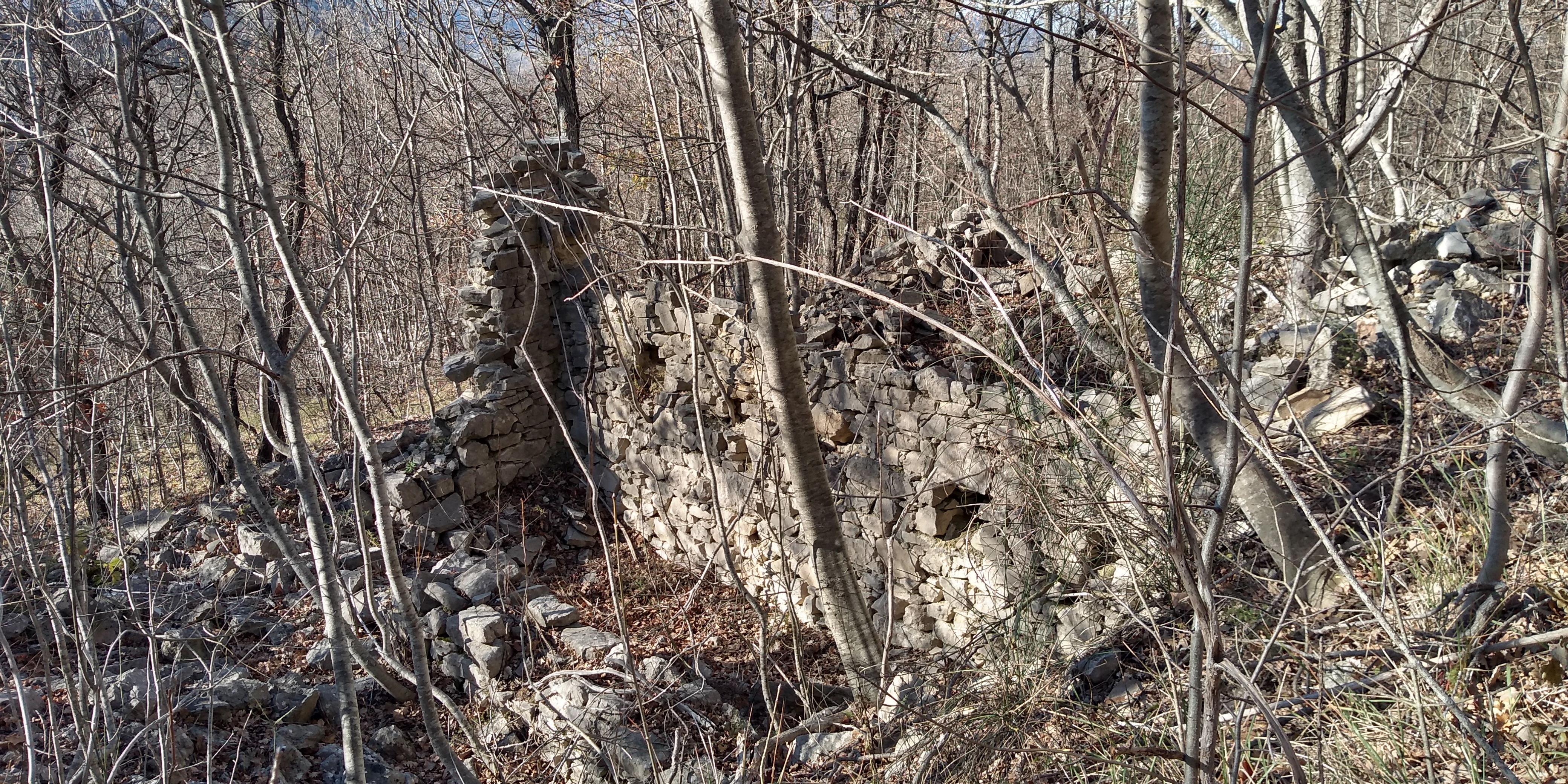
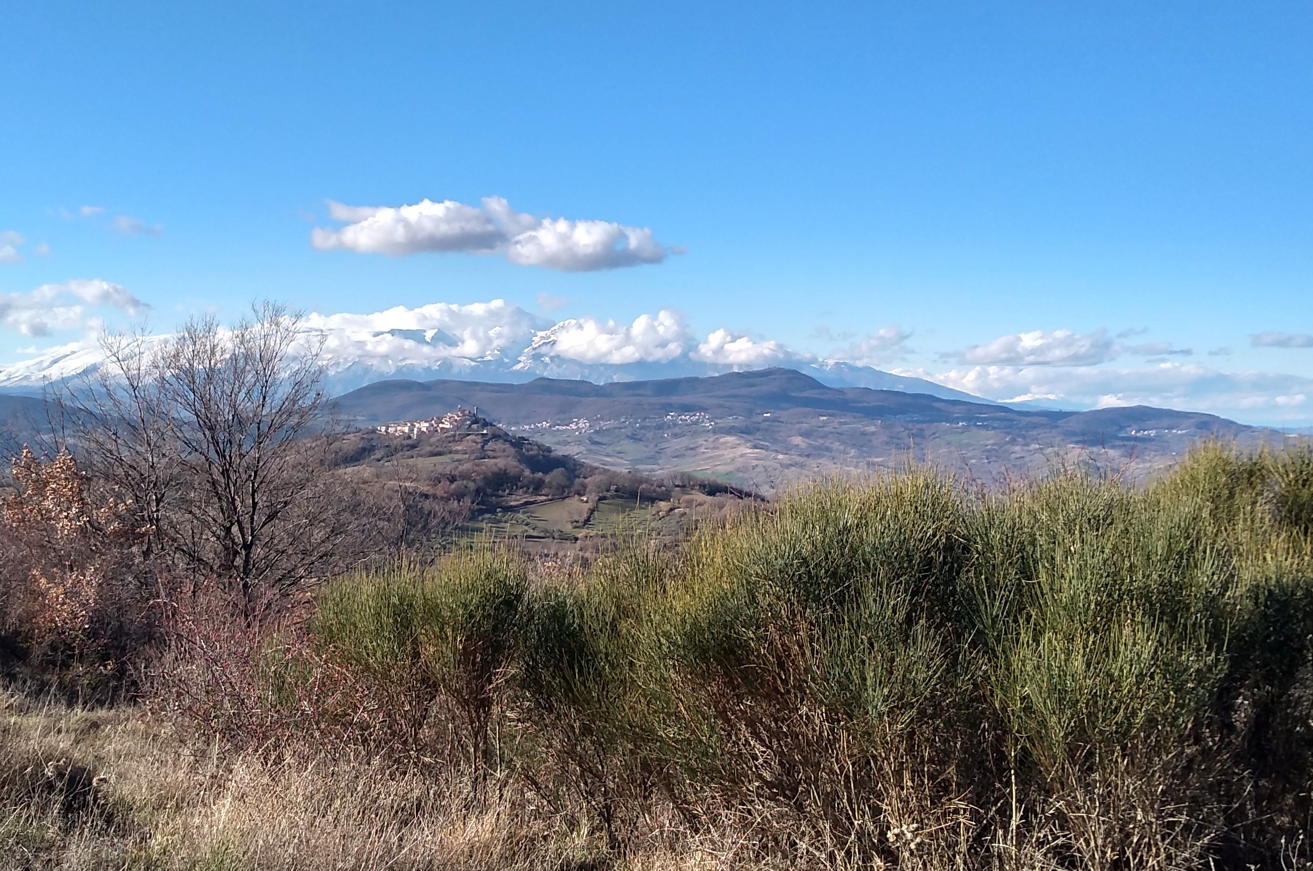
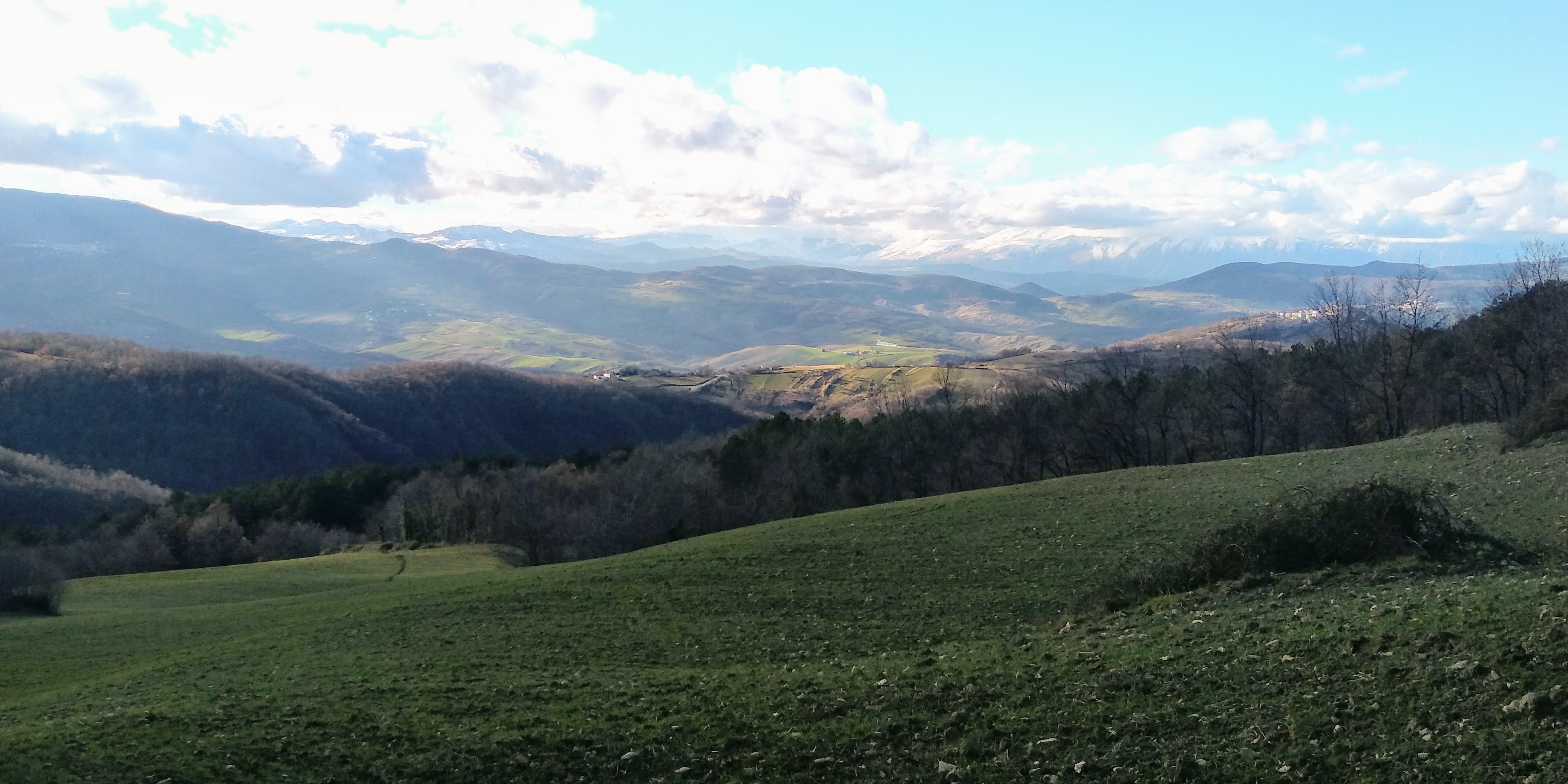
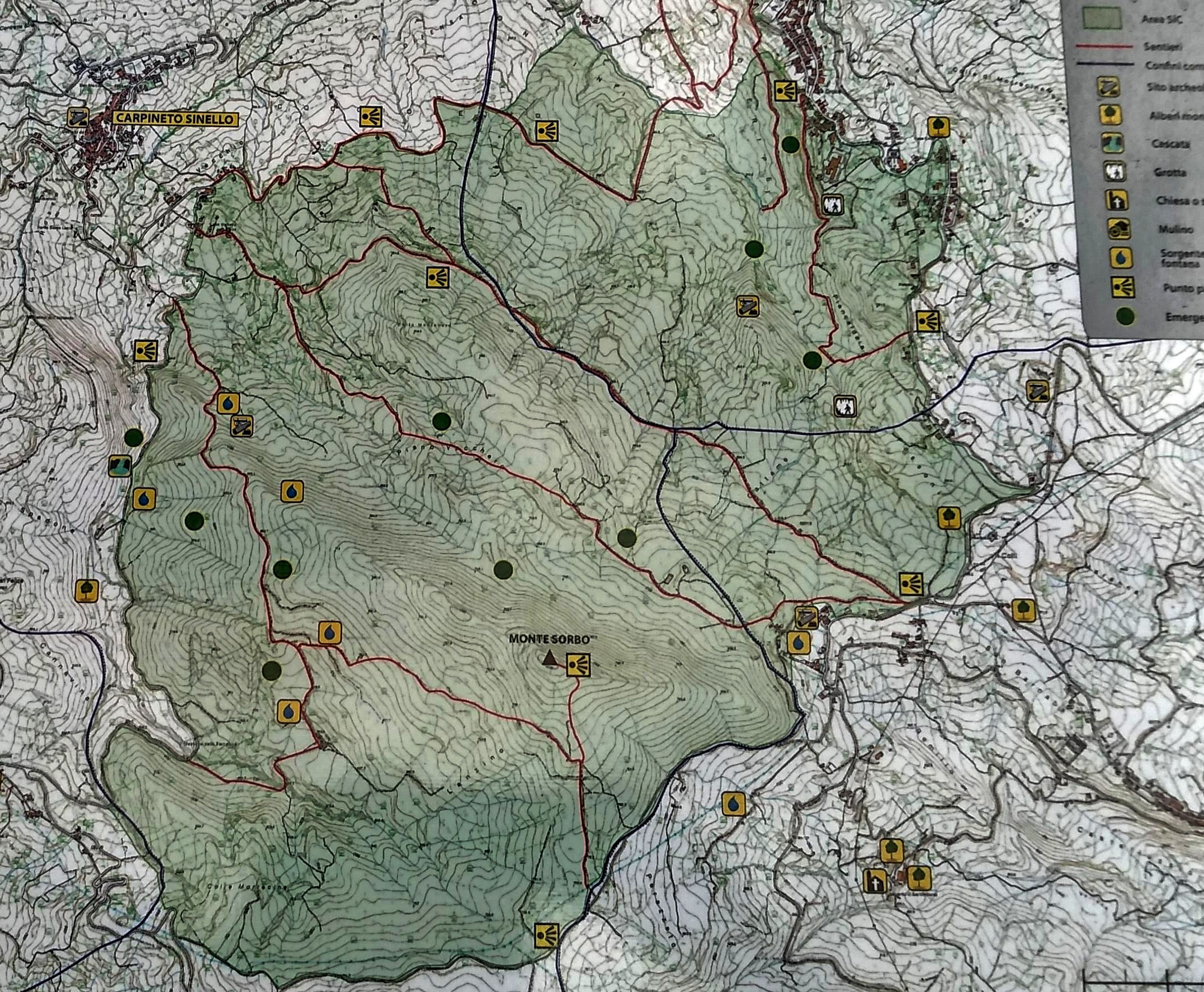
Earlier this week, we headed over to Monte Sorbo, which is about 20 minutes from home. We can see the summit from our house and have been hoping to hike it for sometime. The trail I choose was a combination of forest trails with the standard red & white signs and some forest roads. We were so surprised by the numerous ancient ruins throughout the circuit. This area must have been well populated years ago. There were spectacular views of the Majella and surrounding hill towns. Also at the start of the hike, we could see over the Adriatic Sea to the Tremiti Islands and the Gargano Peninsula. There was a section of the forest road that was pretty muddy and I marked that on the map. Also I got us a bit lost as we approached the conclusion of the trail, so there was some bushwacking until I got back on course. Also marked on trail. Somehow I missed a turn in the forest road. It was a beautiful hike which we both highly recommend. 6.35 m/10.15 km, Altitude gain 2284 ft/ 696 mt., summit height 2952 ft/ 900 mt.

Outdoor Active Site
All’inizio di questa settimana ci siamo diretti al Monte Sorbo, che dista circa 20 minuti da casa. Possiamo vedere la vetta da casa nostra e da tempo speravamo di fare un’escursione. Il sentiero che ho scelto era una combinazione di sentieri forestali con i segnali standard rossi e bianchi e alcune strade forestali. Siamo rimasti così sorpresi dalle molte antiche rovine intorno al circuito. Questa zona deve essere stata ben popolata anni fa. C’erano viste spettacolari della Majella e delle città collinari circostanti. Già all’inizio dell’escursione abbiamo potuto vedere il mare Adriatico fino alle Isole Tremiti e alla penisola del Gargano. C’era un tratto di strada forestale che era abbastanza fangoso e l’ho segnato sulla mappa. Mi sono anche perso un po ‘mentre ci avvicinavamo alla fine del sentiero, quindi abbiamo camminato con un sentiero fino a quando non sono tornato sulla rotta. Segnato anche sul sentiero. In qualche modo ho perso una svolta nella strada forestale. È stata una bellissima escursione che entrambi consigliamo vivamente. 6,35 m / 10,15 km, dislivello positivo 696 m, altitudine massima 900 m.